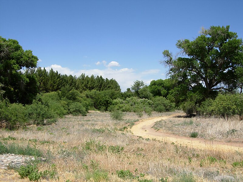
Dead Horse Ranch State Park is a state park of Arizona, United States, on the Verde River in an area known as the Verde River Greenway. Located at approximately 3,300 feet elevation, Dead Horse Ranch State Park covers 423 acres of land with 10 miles of hiking trails, 150 campground sites and several picnic areas, along with 23 group camping sites. It also offers trailhead access to the Dead Horse Trail System, located on adjacent Coconino National Forest land. The ranch was originally named by the Ireys family, who sold the land to the state of Arizona to become a state park.
Download Download See moreWikipedia https://en.wikipedia.org/wiki/Dead_Horse_Ranch_State_Park
Azstateparks.com http://azstateparks.com/Parks/DEHO/index.html
Phone +1 520 634 5283
Address 675 Dead Horse Ranch Rd, Cottonwood, AZ, USA
Coordinates 34°45'14.074" N -112°0'50.566" E