
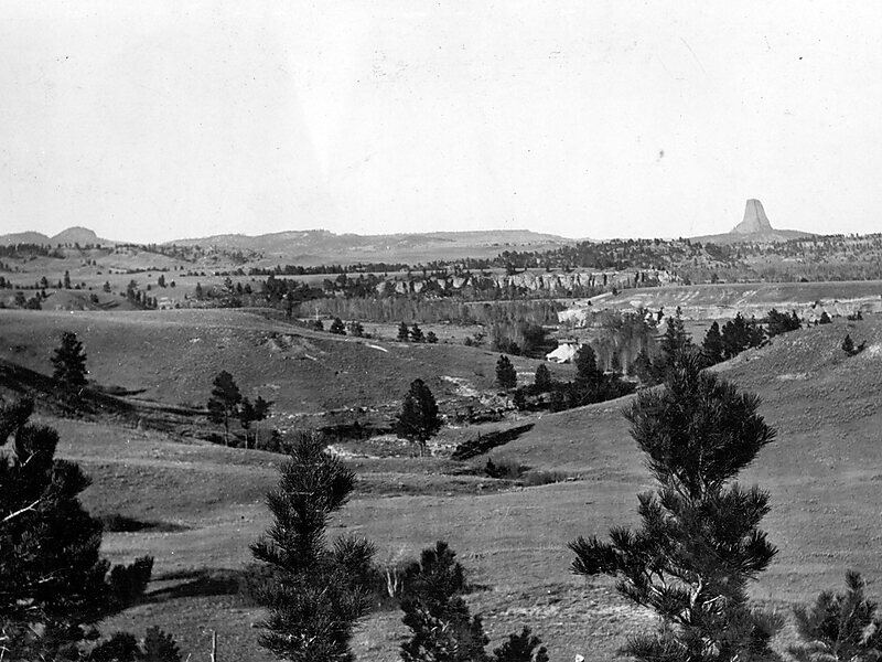
Missouri Buttes are located in Crook County in northeast Wyoming on the northwest flank of the Black Hills Uplift. The buttes are 3.5 miles northwest of Devils Tower between the Little Missouri and the Belle Fourche rivers.
The Missouri Buttes consist of four separate summits which arise from an eroded mesa platform, the Butte Divide, which has an elevation of 4,650 feet. The butte peaks form a rough rectangle 0.5 x 0.65 mi. in size. The northwest butte is the highest with a summit at 5,374 feet.
Wikipedia https://en.wikipedia.org/wiki/Missouri_Buttes
Address 82714, United States
Coordinates 44°36'56.941" N -104°46'28.887" E
