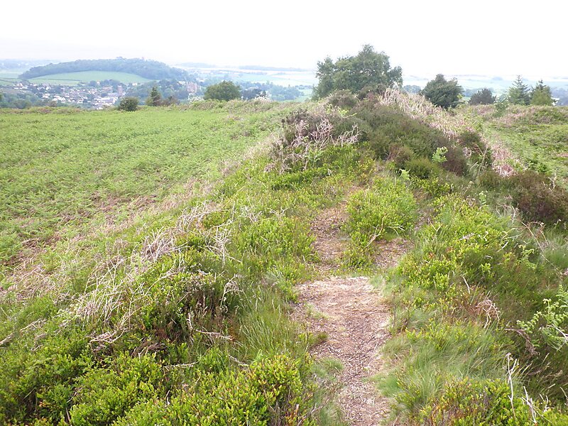
Bat's Castle
Bats Castle is an Iron Age hillfort at the top of a 213 metres high hill in the parish of Carhampton south south west of Dunster in… Read more…


Add Bat's Castle to Your Trip
Create a detailed travel itinerary with smart routing, time estimates, and everything you need for a perfect trip.


Bats Castle is an Iron Age hillfort at the top of a 213 metres high hill in the parish of Carhampton south south west of Dunster in Somerset, England.
Though clearly shown on the 1902 Ordnance Survey 25 inch map, the site was "identified" in 1983 after some schoolboys found eight silver-plated coins dating from 102BC to AD350.
It is on the highest point of Gallox Hill. Previously it was known as Caesar's Camp and is possibly associated with Black Ball Camp. Bat's Castle has two stone ramparts and two ditches. The ramparts are damaged in places and the hill fort is partly covered in scrub.
Source: Wikipedia
More Information and Contact
Add Bat's Castle to Your Trip
Create a detailed travel itinerary with smart routing, time estimates, and everything you need for a perfect trip.