Bixby Creek Bridge
Bixby Bridge, also known as Bixby Creek Bridge, on the Big Sur coast of California, is one of the most photographed bridges in California… Read more…


Add Bixby Creek Bridge to Your Trip
Create a detailed travel itinerary with smart routing, time estimates, and everything you need for a perfect trip.


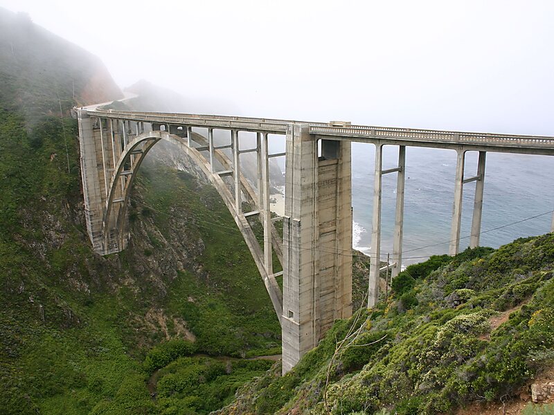
Bixby Bridge, also known as Bixby Creek Bridge, on the Big Sur coast of California, is one of the most photographed bridges in California due to its aesthetic design, "graceful architecture and magnificent setting". It is a reinforced concrete open-spandrel arch bridge. The bridge is 120 miles south of San Francisco and 13 miles south of Carmel in Monterey County on State Route 1.
Before the opening of the bridge in 1932, residents of the Big Sur area were virtually cut off during winter due to blockages on the often impassable Old Coast Road, which led 11 miles inland. The bridge was built under budget for $199,861 and, at 360 feet, was the longest concrete arch span in the California State Highway System.
Source: Wikipedia
More Information and Contact
Add Bixby Creek Bridge to Your Trip
Create a detailed travel itinerary with smart routing, time estimates, and everything you need for a perfect trip.