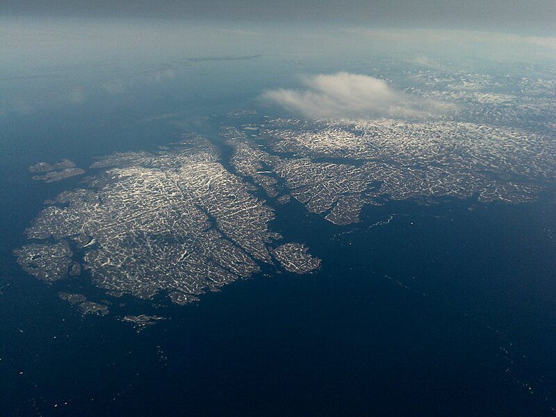
Cape Chidley is a headland located on the eastern shore of Killiniq Island, Canada, at the northeastern tip of the Labrador Peninsula.
Cape Chidley was named by English explorer John Davis on August 1, 1587, after his friend and fellow explorer John Chidley. On October 22, 1943, the German submarine U-537 landed just south of Cape Chidley and set up Weather Station Kurt to collect data about the weather.
In the original plans for the Pinetree Line, Cape Chidley was meant to be the site for a long-range radar station called "N-30". Supplies were moved to the site by ship during 1951–52, but in late 1952–early 1953 the site was moved to Resolution Island.
Wikipedia https://en.wikipedia.org/wiki/Cape_Chidley
Address Canada
Coordinates 60°22'46.584" N -64°25'47.11" E