Hüggel
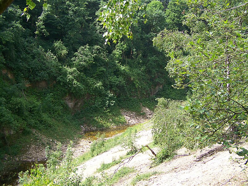
The Hüggel is a ridge, up to 225.6 m above sea level, about 5 kilometres long and 1 kilometre wide, near Hasbergen in the Lower Saxon… Read more…
peak
Ramsch / Public domain

Riverside Hotel

Hüggel
2h

Corner Café
45 min
Riverside Hotel
Add Hüggel to Your Trip
Create a detailed travel itinerary with smart routing, time estimates, and everything you need for a perfect trip.
3M+ downloads · 4.6 stars · 15 years of trip planning


The Hüggel is a ridge, up to 225.6 m above sea level, about 5 kilometres long and 1 kilometre wide, near Hasbergen in the Lower Saxon district of Osnabrück in central Germany. It is the highest point of the Osnabrück Uplands. This Upper Carboniferous outcrop is part of the Ibbenbüren Coalfield.
Source: Wikipedia
More Information and Contact
Wikipedia en.wikipedia.org/wiki/H%C3%BCggel
Address Schau ins Land, 49205, Germany
Coordinates 52°13'12.947" N, 7°58'31.703" E
Riverside Hotel
Hüggel
2h
Corner Café
45 min
Riverside Hotel
Add Hüggel to Your Trip
Create a detailed travel itinerary with smart routing, time estimates, and everything you need for a perfect trip.
3M+ downloads · 4.6 stars · 15 years of trip planning