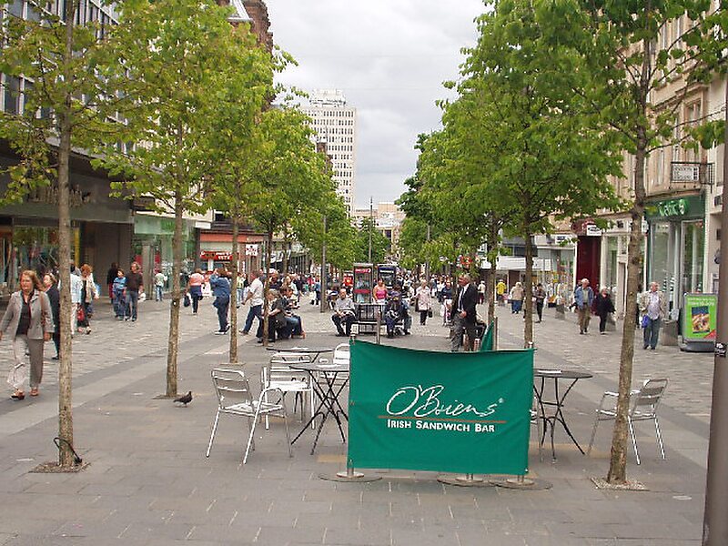
Sauchiehall Street
Sauchiehall Street () became one of the main shopping streets in the city centre of Glasgow, Scotland, along with Buchanan Street and… Read more…


Add Sauchiehall Street to Your Trip
Create a detailed travel itinerary with smart routing, time estimates, and everything you need for a perfect trip.


Sauchiehall Street () became one of the main shopping streets in the city centre of Glasgow, Scotland, along with Buchanan Street and Argyle Street.
Although commonly associated with the city centre, Sauchiehall Street is over 1.5 miles in length. At its central west end is Charing Cross, followed by the Category-A listed crescents and terraces which lead up to Park Circus, finally meeting Argyle Street in the West End in front of Kelvingrove Park and the Kelvingrove Museum, where they merge to form Dumbarton Road, continuing through Partick.
Source: Wikipedia
More Information and Contact
Add Sauchiehall Street to Your Trip
Create a detailed travel itinerary with smart routing, time estimates, and everything you need for a perfect trip.