



Cape Nagasaki-bana
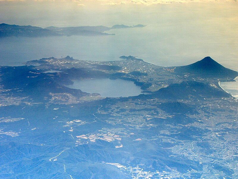
Nagasakibana, also known as Cape Nagasakibana or Cape Ryūgū, is the most southern headland on the Satsuma Peninsula at the entrance to… Weiterlesen…

Cape Nagasaki-bana – Planst du eine Reise?
Erstelle deine Reiseroute Tag für Tag in der Tripomatic-App.


Nagasakibana, also known as Cape Nagasakibana or Cape Ryūgū, is the most southern headland on the Satsuma Peninsula at the entrance to Kagoshima Bay. The cape has a lighthouse, is the location of a statue of Urashima Tarō, the fisherman in a Japanese fairy tale, and the Ryūgū Shrine.
Source: Wikipedia
Weitere Informationen & Kontakt
Adresse Japan
Koordinaten 31°9'20.763" N, 130°35'11.984" E
view pointcape

Riverside Hotel

Cape Nagasaki-bana
2h

Corner Café
45 min
Riverside Hotel
Cape Nagasaki-bana – Zu deiner Reise hinzufügen
Erstelle eine detaillierte Reiseroute mit intelligenter Routenführung, Zeitschätzungen und allem, was du für eine perfekte Reise brauchst.
3 Mio.+ Downloads · 4,6 Sterne · 15 Jahre Reiseplanung

