
St. John's Park
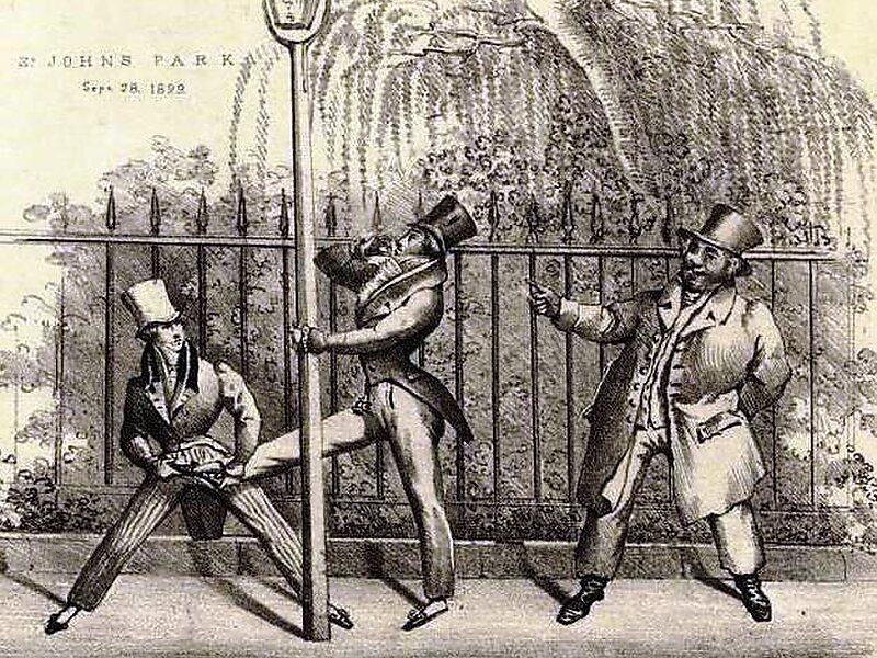
St. John's Park was a 19th-century park and square, and the neighborhood of townhouses around it, in what is now the Tribeca neighborhood of… Weiterlesen…


St. John's Park – Zu deiner Reise hinzufügen
Erstelle eine detaillierte Reiseroute mit intelligenter Routenführung, Zeitabschätzungen und allem, was du für eine perfekte Reise brauchst.




St. John's Park was a 19th-century park and square, and the neighborhood of townhouses around it, in what is now the Tribeca neighborhood of Lower Manhattan, New York City. The square was bounded by Varick Street, Laight Street, Hudson Street and Beach Street, now also known for that block as Ericsson Place. Although the name "St. John's Park" is still in use, it is no longer a park and is inaccessible to the public.
The land was part of a plantation owned by an early settler to New Netherland and was later owned by the English Crown, who deeded it to Trinity Church. The church built St. John's Chapel and laid out "Hudson Square", creating New York City's first development of townhouses around a private park.
Source: Wikipedia
Weitere Informationen und Kontakt
St. John's Park – Zu deiner Reise hinzufügen
Erstelle eine detaillierte Reiseroute mit intelligenter Routenführung, Zeitabschätzungen und allem, was du für eine perfekte Reise brauchst.

