



Halmyris
Halmyris was a Roman and Byzantine fort, settlement and naval port, located 2.5 km east of the village of Murighiol at the mouth of the… Weiterlesen…


Halmyris – Planst du eine Reise?
Erstelle deine Reiseroute Tag für Tag in der Tripomatic-App.


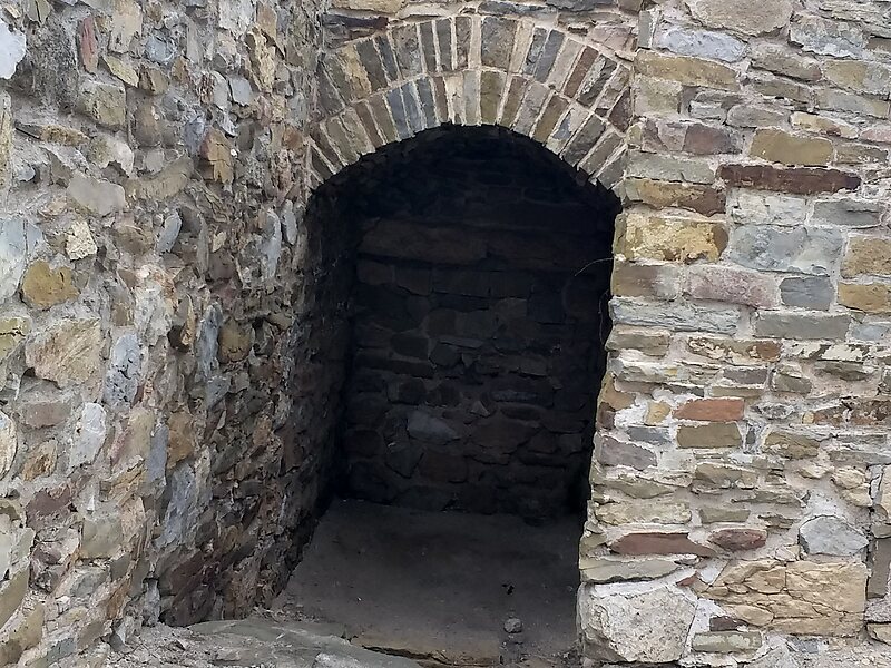
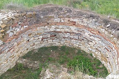
Halmyris was a Roman and Byzantine fort, settlement and naval port, located 2.5 km east of the village of Murighiol at the mouth of the Danube Delta in Romania. Its name in Roman times was probably Almyridensium.
Halmyris occupied a key location in antiquity at the end of the Roman Moesian Limes frontier defensive system and is included in no less than eight important Greek and Latin sources, including the Itinerarium Antonini and Notitia Dignitatum.
Halmyris served as a depot for supplies, colonisation and cultural exchange in the region for 1,100 years from the Iron Age to the Byzantine period.
Source: Wikipedia
Weitere Informationen & Kontakt


Halmyris – Zu deiner Reise hinzufügen
Erstelle eine detaillierte Reiseroute mit intelligenter Routenführung, Zeitschätzungen und allem, was du für eine perfekte Reise brauchst.

