



Cape Sata
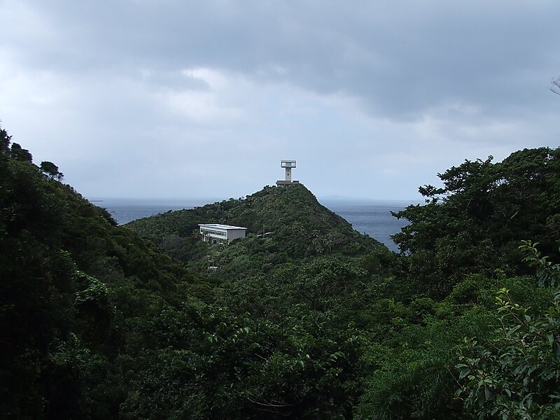
Cape Sata is a cape at the southern tip of the Ōsumi Peninsula of Kyūshū island, Japan, and is the southernmost point of the island, just… Weiterlesen…


Cape Sata – Planst du eine Reise?
Erstelle deine Reiseroute Tag für Tag in der Tripomatic-App.


Cape Sata is a cape at the southern tip of the Ōsumi Peninsula of Kyūshū island, Japan, and is the southernmost point of the island, just south of 31 degrees latitude.
Cape Sata is home to a lighthouse built in 1871, designed by the Scotsman Richard Henry Brunton.
Prior to 2013, the land was under the jurisdiction of a private company, and cost 300 yen to enter with open hours between 9 a.m. and 5 p.m.
Source: Wikipedia
Weitere Informationen & Kontakt


Cape Sata – Zu deiner Reise hinzufügen
Erstelle eine detaillierte Reiseroute mit intelligenter Routenführung, Zeitschätzungen und allem, was du für eine perfekte Reise brauchst.

