
The Dutchman's Cap
The Dutchman's Cap is a hill with a 24.4 m high bluff, which is in Lithuania's Seaside Regional Park, near Karklė and 2 km north of… Weiterlesen…


Füge The Dutchman's Cap Zu Deiner Reise Hinzu
Erstelle eine detaillierte Reiseroute mit intelligenter Routenführung, Zeitabschätzungen und allem, was du für eine perfekte Reise brauchst.




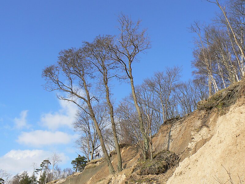
The Dutchman's Cap is a hill with a 24.4 m high bluff, which is in Lithuania's Seaside Regional Park, near Karklė and 2 km north of Giruliai on the Baltic Sea coast. It was created 12000–15000 years ago during the last Baltic glaciation.The name stems from an alleged similarity of the high bank to Mariner's cap.
The hill is a parabolic dune created by Aeolian processes on a moraine ridge. The location is now subject to strong erosion by the Baltic Sea, which is exposing various-sized boulders from the moraine. As a consequence, boulder rubble has accumulated on the so-called beach. As the bluff's base is destroyed, earth slips down the bluff's entire face, in an example of mass wasting.
Source: Wikipedia
Weitere Informationen und Kontakt
Füge The Dutchman's Cap Zu Deiner Reise Hinzu
Erstelle eine detaillierte Reiseroute mit intelligenter Routenführung, Zeitabschätzungen und allem, was du für eine perfekte Reise brauchst.