Cape Chidley
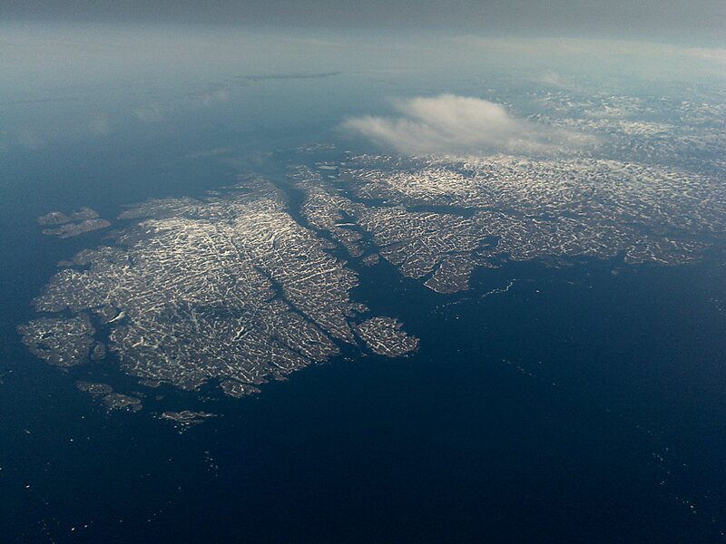
Cape Chidley is a headland located on the eastern shore of Killiniq Island, Canada, at the northeastern tip of the Labrador Peninsula.
cape

Riverside Hotel

Cape Chidley
2h

Corner Café
45 min
Riverside Hotel
Add Cape Chidley to Your Trip
Create a detailed travel itinerary with smart routing, time estimates, and everything you need for a perfect trip.
3M+ downloads · 4.6 stars · 15 years of trip planning


More Information and Contact
Wikipedia en.wikipedia.org/wiki/Cape_Chidley
Address Canada
Coordinates 60°22'46.584" N, 64°25'47.11" W
Riverside Hotel
Cape Chidley
2h
Corner Café
45 min
Riverside Hotel
Add Cape Chidley to Your Trip
Create a detailed travel itinerary with smart routing, time estimates, and everything you need for a perfect trip.
3M+ downloads · 4.6 stars · 15 years of trip planning