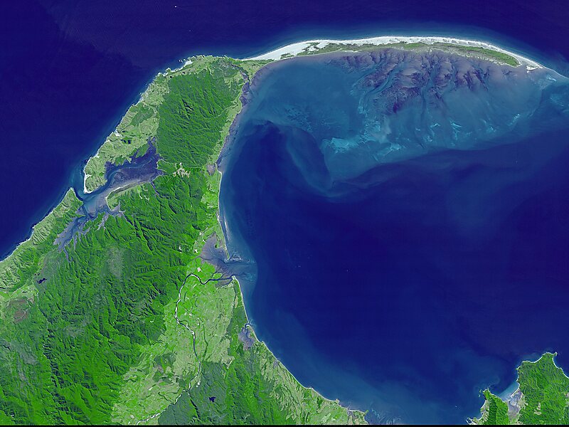
Cape Farewell is a headland in New Zealand, the most northerly point on the South Island. It is located just west of Farewell Spit. First mapped by Abel Tasman, it was named by British explorer Captain James Cook in 1770 —it was the last land seen by his crew as they departed on the ship's homeward voyage.Owing to its remote location it is one of the less visited of New Zealand's major capes. The "Clifftop walk" joins the area with the beginning of Farewell Spit, and has stunning vistas of the Tasman Sea to one side, of the sand dunes in the northeast and of the towering cliffs and rocky, primal landscapes to the shoreward side.
In 2020, the Wharariki Ecosanctuary was established in the northernmost 2.5 hectares of the cape, enclosed by a predator-proof fence to protect seabirds, rare native plants, giant snails and geckos.

Wikipedia https://en.wikipedia.org/wiki/Cape_Farewell,_New_Zealand
Address 7073, New Zealand
Coordinates -40°29'56.021" N 172°41'42.763" E