
Kalopa State Recreation Area
The Kalōpā Native Forest State Park and Recreation Area is a state park with an arboretum of native trees located approximately 40 mi… Weiterlesen…


Kalopa State Recreation Area – Zu deiner Reise hinzufügen
Erstelle eine detaillierte Reiseroute mit intelligenter Routenführung, Zeitabschätzungen und allem, was du für eine perfekte Reise brauchst.




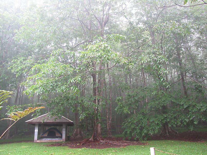
The Kalōpā Native Forest State Park and Recreation Area is a state park with an arboretum of native trees located approximately 40 mi northwest of Hilo, near the village of Honokaʻa, a few miles inland from the Mamalahoa Highway section of the Hawaii Belt Road, Island of Hawaiʻi, Hawaiʻi.
This 100-acre park adjoins an additional 500 acres in the Kalopa Forest Reserve. The park is at an elevation of 2,000 ft and includes a 0.7 mi loop through a forest of native ʻōhiʻa lehua trees. A number of rare plants can be found in the arboretum area, including endangered loulu palms, as well as a number of rare native hibiscus. Due to the altitude, damp and chilly weather is the norm.
Source: Wikipedia
Weitere Informationen und Kontakt
Kalopa State Recreation Area – Zu deiner Reise hinzufügen
Erstelle eine detaillierte Reiseroute mit intelligenter Routenführung, Zeitabschätzungen und allem, was du für eine perfekte Reise brauchst.