
Mount Fumaiolo
Mount Fumaiolo is a mountain of the northern Apennines range of Italy located in the southernmost corner of the Emilia-Romagna region, c.… Weiterlesen…


Mount Fumaiolo – Zu deiner Reise hinzufügen
Erstelle eine detaillierte Reiseroute mit intelligenter Routenführung, Zeitabschätzungen und allem, was du für eine perfekte Reise brauchst.




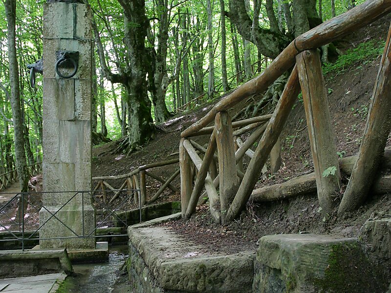
Mount Fumaiolo is a mountain of the northern Apennines range of Italy located in the southernmost corner of the Emilia-Romagna region, c. 70 km from the town of Cesena. It is at the border Emilia-Romagna and Tuscany. With an elevation of 1,407 metres, Mount Fumaiolo overlooks the villages of Balze di Verghereto, Bagno di Romagna and Verghereto, in Romagna, and thanks to its extensive fir and beech forests, it is a well-appreciated tourist area of natural interest. It is most famous for being the source of the Tiber, as well as the river Savio.
Source: Wikipedia
Weitere Informationen und Kontakt
Mount Fumaiolo – Zu deiner Reise hinzufügen
Erstelle eine detaillierte Reiseroute mit intelligenter Routenführung, Zeitabschätzungen und allem, was du für eine perfekte Reise brauchst.