Sierra de Gádor
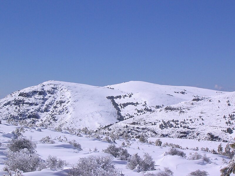
Sierra de Gádor of Sierra Gador is a mountain range in southwest of the province of Almería, Spain.It is bordered to the north by Sierra… Read more…


Add Sierra de Gádor to Your Trip
Create a detailed travel itinerary with smart routing, time estimates, and everything you need for a perfect trip.


Sierra de Gádor of Sierra Gador is a mountain range in southwest of the province of Almería, Spain.It is bordered to the north by Sierra Nevada and to the south by the Mediterranean Sea.
It is a isolated massif in an arid and semi-arid complex. It has a very uneven relief. The highest peaks are Morrón de la Lagunilla, Pico Colorado, Pico de las Cabras, Nuevo Mundo, el Pecho Cuchillo and Dos Hermanas. Its average height decrease to the east, with peaks Molinero, Piorno and Pozuelo. The eastern part is also known as Sierra de Enix, named after the city of Enix, the only major populated place in the area. This part may be geologically divided into two distinct areas: a valley made up of sedimentary materials and the hilly area with elevations up to 1,000 m covered mostly by bushes and grasslands.
Source: Wikipedia
More Information and Contact
Add Sierra de Gádor to Your Trip
Create a detailed travel itinerary with smart routing, time estimates, and everything you need for a perfect trip.