Watarase River
The Watarase River is a major river in the northern Kantō region of Japan.
river
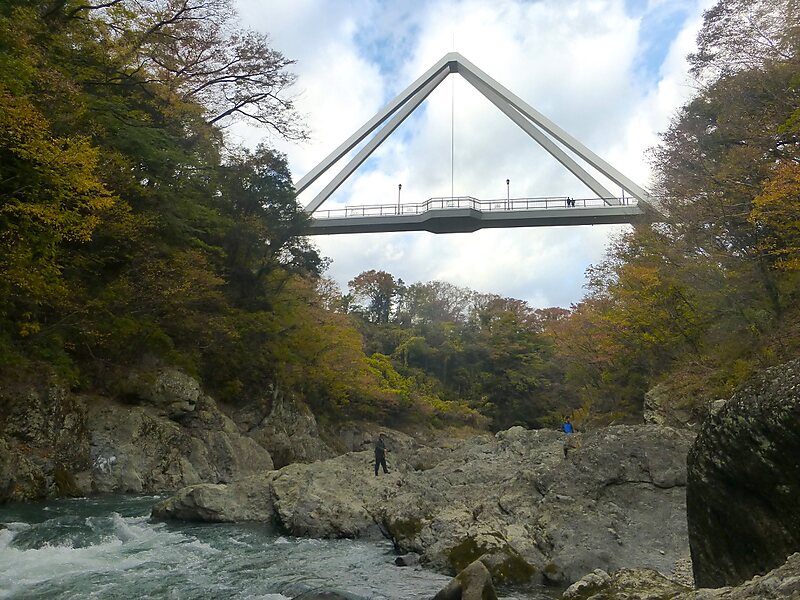
Nesnad / CC BY-SA 4.0

Riverside Hotel

Watarase River
2h

Corner Café
45 min
Riverside Hotel
Add Watarase River to Your Trip
Create a detailed travel itinerary with smart routing, time estimates, and everything you need for a perfect trip.
3M+ downloads · 4.6 stars · 15 years of trip planning


More Information and Contact
Wikipedia en.wikipedia.org/wiki/Watarase_River
Coordinates 36°19'0.506" N, 139°28'15.368" E
Riverside Hotel
Watarase River
2h
Corner Café
45 min
Riverside Hotel
Add Watarase River to Your Trip
Create a detailed travel itinerary with smart routing, time estimates, and everything you need for a perfect trip.
3M+ downloads · 4.6 stars · 15 years of trip planning