



Mt. Myojingatake
Mount Myōjin or Myōjin-ga-take is a mountain with an altitude of 1,169 meters on the border of Minamiashigara and Hakone, Kanagawa, as one… Read more…


Mt. Myojingatake – Planning a Trip?
Build your day-by-day itinerary in the Tripomatic app.


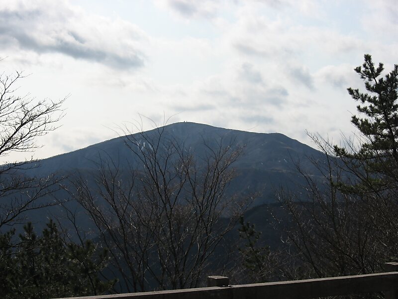
Mount Myōjin or Myōjin-ga-take is a mountain with an altitude of 1,169 meters on the border of Minamiashigara and Hakone, Kanagawa, as one of the ancient sommas on Mount Hakone's old outer rim. It is part of Fuji-Hakone-Izu National Park.
Mount Myōjin has two major trails from the eastern and western sides, and is the hikers' most popular mountain in the Mount Hakone area, next to Mount Kintoki. There is also a long trail from Mount Myōjō via Mount Myōjin to Mount Kintoki.
Source: Wikipedia
More Information and Contact


Mt. Myojingatake – Add to Your Trip
Create a detailed travel itinerary with smart routing, time estimates, and everything you need for a perfect trip.

