



Marie Curtis Park
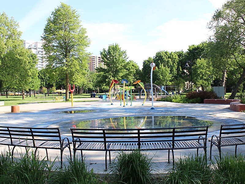
Marie Curtis Park is a public park in Toronto, Ontario, Canada. It is located at the mouth of the Etobicoke Creek on Lake Ontario in the… Read more…


Marie Curtis Park – Add to Your Trip
Create a detailed travel itinerary with smart routing, time estimates, and everything you need for a perfect trip.




Marie Curtis Park is a public park in Toronto, Ontario, Canada. It is located at the mouth of the Etobicoke Creek on Lake Ontario in the Long Branch neighbourhood. Marie Curtis Park was built after the devastating floods of Hurricane Hazel in 1954 destroyed 56 homes and cottages on the site, leaving 1,868 persons homeless and 81 dead. It is named after Marie Curtis, the reeve of Long Branch at the time of its construction. Long Branch at the time was a separate village; it's now amalgamated into the City of Toronto government.
Source: Wikipedia
More Information and Contact
Marie Curtis Park – Add to Your Trip
Create a detailed travel itinerary with smart routing, time estimates, and everything you need for a perfect trip.