



Mantiqueira Mountains
The Mantiqueira Mountains are a mountain range in Southeastern Brazil, with parts in the states of São Paulo, Minas Gerais and Rio de… Read more…
Mantiqueira Mountains – Planning a Trip?
Build your day-by-day itinerary in the Tripomatic app.


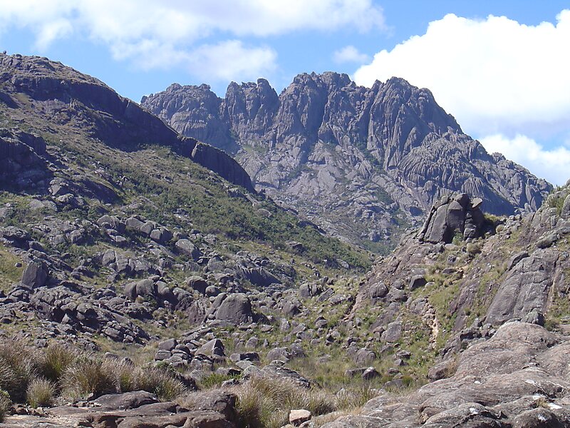
The Mantiqueira Mountains are a mountain range in Southeastern Brazil, with parts in the states of São Paulo, Minas Gerais and Rio de Janeiro. It rises abruptly from the northwestern bank of the Paraíba do Sul River and extends northeastward for approximately 320 km, reaching a height of 2,798 m at Pedra da Mina. The mountains, which eventually merge with the Serra do Espinhaço, were originally forest-covered, except for the peaks that rise above the tree line. They provide charcoal and pasture for cattle; on the lower slopes there are several health and tourist resorts, such as Campos do Jordão, Brazil's highest city. The name Mantiqueira derives from a Tupi word meaning "mountains that cry", denoting the large number of springs and streams found there.
The name shows the range's great importance as a source of drinking water, and the waters supply a great number of important cities in the southeast of Brazil.
Source: Wikipedia
More Information and Contact


Mantiqueira Mountains – Add to Your Trip
Create a detailed travel itinerary with smart routing, time estimates, and everything you need for a perfect trip.

