



Šatrija
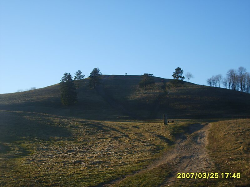
Šatrija is a hill and a hillfort in the Samogitia region of Lithuania, near the Pašatrija village, Luokė seniūnija, Telšiai District… Read more…
archaeological sitepeakview point

Riverside Hotel

Šatrija
2h

Corner Café
45 min
Riverside Hotel
Šatrija – Add to Your Trip
Create a detailed travel itinerary with smart routing, time estimates, and everything you need for a perfect trip.


3M+ downloads · 4.6 stars · 15 years of trip planning


Šatrija is a hill and a hillfort in the Samogitia region of Lithuania, near the Pašatrija village, Luokė seniūnija, Telšiai District Municipality. It is part of the Šatrija Landscape Reserve.
The hill is 228 metres in height and was formed during the last glacial period.
Source: Wikipedia
More Information and Contact
Website piliakalniai.lt/piliakalnis.php
Address 88033, Lithuania
Coordinates 55°52'21.504" N, 22°33'29.221" E
Riverside Hotel
Šatrija
2h
Corner Café
45 min
Riverside Hotel
Šatrija – Add to Your Trip
Create a detailed travel itinerary with smart routing, time estimates, and everything you need for a perfect trip.
3M+ downloads · 4.6 stars · 15 years of trip planning