



Saint Croix National Scenic Riverway
The Saint Croix National Scenic Riverway is a federally protected system of riverways located in eastern Minnesota and northwestern… Read more…


Saint Croix National Scenic Riverway – Add to Your Trip
Create a detailed travel itinerary with smart routing, time estimates, and everything you need for a perfect trip.




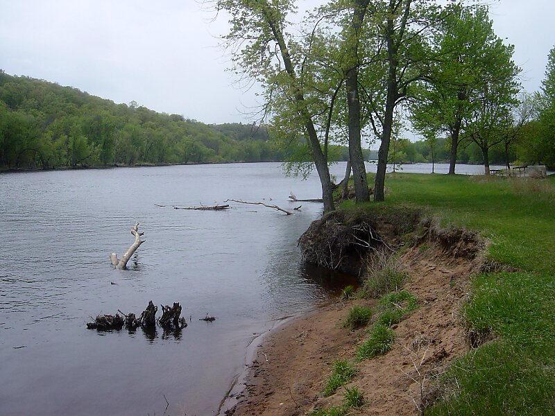
The Saint Croix National Scenic Riverway is a federally protected system of riverways located in eastern Minnesota and northwestern Wisconsin. It protects 252 miles of river, including the St. Croix River, and the Namekagon River, as well as adjacent land along the rivers. The St. Croix National Scenic Riverway is one of the original eight National Wild and Scenic Rivers, largely as a result of legislation by senators Walter Mondale of Minnesota and Gaylord Nelson of Wisconsin. The largest scenic riverway east of the Mississippi River, it lies within parts of eight counties in Wisconsin: Bayfield, Burnett, Douglas, Pierce, Polk, St. Croix, Sawyer, and Washburn; and three in Minnesota: Chisago, Pine, and Washington.
Source: Wikipedia
More Information and Contact
Saint Croix National Scenic Riverway – Add to Your Trip
Create a detailed travel itinerary with smart routing, time estimates, and everything you need for a perfect trip.