
Afsluitdijk
The Afsluitdijk is a major dam and causeway in the Netherlands. It was constructed between 1927 and 1932 and runs from Den Oever in North… Read more…


Add Afsluitdijk to Your Trip
Create a detailed travel itinerary with smart routing, time estimates, and everything you need for a perfect trip.




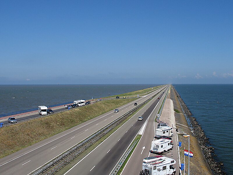
The Afsluitdijk is a major dam and causeway in the Netherlands. It was constructed between 1927 and 1932 and runs from Den Oever in North Holland province to the village of Zurich in Friesland province, over a length of 32 kilometres and a width of 90 metres, at an initial height of 7.25 metres above sea level.
The Afsluitdijk is a fundamental part of the larger Zuiderzee Works, damming off the Zuiderzee, a salt water inlet of the North Sea, and turning it into the fresh water lake of the IJsselmeer. It is a major landwinning project and a quicker road-connection between the North and West of the Netherlands.
Source: Wikipedia
More Information and Contact
Add Afsluitdijk to Your Trip
Create a detailed travel itinerary with smart routing, time estimates, and everything you need for a perfect trip.