



Rakituma / Preservation Inlet
Rakituma / Preservation Inlet is the southernmost fiord in Fiordland National Park and lies on the southwest corner of the South Island of… Read more…
Rakituma / Preservation Inlet – Planning a Trip?
Build your day-by-day itinerary in the Tripomatic app.


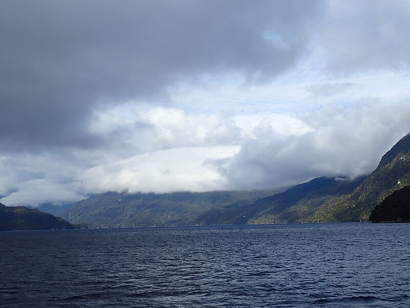
Rakituma / Preservation Inlet is the southernmost fiord in Fiordland National Park and lies on the southwest corner of the South Island of New Zealand. With an area of 93 square kilometres, it is the fourth largest fiord in New Zealand, after Tamatea / Dusky Sound, Doubtful Sound / Patea, and the neighbouring Taiari / Chalky Inlet to the north. Rakituma was briefly the site of an attempted fishing and gold mining settlement at Cromarty during the 19th century, however this was quickly abandoned once the level of gold declined in relation to more promising fields elsewhere.
Source: Wikipedia
More Information and Contact


Rakituma / Preservation Inlet – Add to Your Trip
Create a detailed travel itinerary with smart routing, time estimates, and everything you need for a perfect trip.

