



La Crosse Regional Airport
La Crosse Regional Airport is a public airport located 5 nautical miles northwest of La Crosse, a city in La Crosse County, Wisconsin,… Read more…
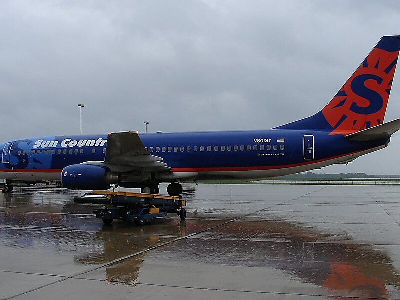


La Crosse Regional Airport – Add to Your Trip
Create a detailed travel itinerary with smart routing, time estimates, and everything you need for a perfect trip.




La Crosse Regional Airport is a public airport located 5 nautical miles northwest of La Crosse, a city in La Crosse County, Wisconsin, United States. Until August 2013 the airport was called La Crosse Municipal Airport.
It occupies the northern area of French Island, next to the Mississippi River. La Crosse's airport is the closest scheduled airline airport to the U.S. Army Fort McCoy base near Sparta, Wisconsin.
The Federal Aviation Administration National Plan of Integrated Airport Systems for 2023–2027 categorized it as a non-hub primary commercial service facility. It is the sixth busiest of eight commercial airports in Wisconsin in terms of passengers served.
Source: Wikipedia
More Information and Contact
La Crosse Regional Airport – Add to Your Trip
Create a detailed travel itinerary with smart routing, time estimates, and everything you need for a perfect trip.