



Horsens Fjord
Horsens Fjord is an East Jutland-type fjord in the east coast of the Danish peninsula of Jutland which stretches from the islands of Alrø… Read more…


Horsens Fjord – Add to Your Trip
Create a detailed travel itinerary with smart routing, time estimates, and everything you need for a perfect trip.




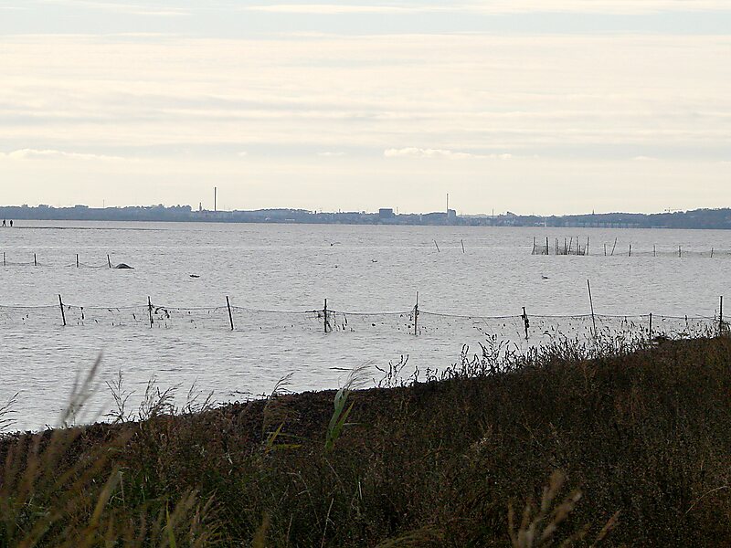
Horsens Fjord is an East Jutland-type fjord in the east coast of the Danish peninsula of Jutland which stretches from the islands of Alrø and Hjarnø in the east to the town of Horsens on the mainland. It is some 20 kilometres long. The navigational channel to Horsens has a depth of 7 metres.The islands in the fjord are low-lying with grasslands and lagoons along their coasts. Both Alrø and Hjarnø consist principally of farmland while Vorsø, which has been an unpopulated nature reserve for over 50 years, is now wooded and has a colony of herons. There are also many cormorants in the area.
Source: Wikipedia
More Information and Contact
Horsens Fjord – Add to Your Trip
Create a detailed travel itinerary with smart routing, time estimates, and everything you need for a perfect trip.