



Pizzo Rotondo
Pizzo Rotondo is a mountain in the Lepontine Alps. At 3,190 metres above sea level, it is the highest mountain lying on the border between… Read more…


Pizzo Rotondo – Add to Your Trip
Create a detailed travel itinerary with smart routing, time estimates, and everything you need for a perfect trip.




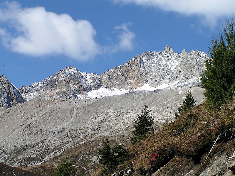
Pizzo Rotondo is a mountain in the Lepontine Alps. At 3,190 metres above sea level, it is the highest mountain lying on the border between the cantons of Ticino and Valais, as well as the highest summit of the Lepontine Alps lying between Nufenen Pass and Lukmanier Pass.
The massif of Piz Rotondo separates the valleys of the upper Rhone and upper Ticino. About two kilometres north-east lies the Witenwasserenstock, which is the watershed between the basins of the Rhone, Po and Rhine.
On the north side lies a relatively large glacier named Gerengletscher, which extends to the ridge of the Witenwasserenstock. On the south side, at Passo di Rotondo, lies a smaller glacier named Ghiacciaio del Pizzo Rotondo.
Source: Wikipedia
More Information and Contact
Pizzo Rotondo – Add to Your Trip
Create a detailed travel itinerary with smart routing, time estimates, and everything you need for a perfect trip.