Bárðarbunga
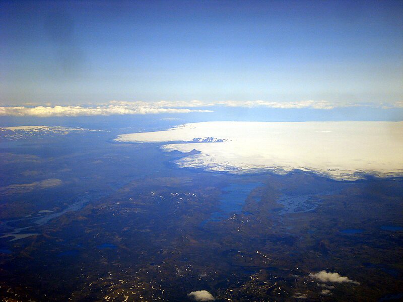
Bárðarbunga, is an active and productive stratovolcano located under Vatnajökull in Vatnajökull National Park which is Iceland's most… Read more…


Add Bárðarbunga to Your Trip
Create a detailed travel itinerary with smart routing, time estimates, and everything you need for a perfect trip.


Bárðarbunga, is an active and productive stratovolcano located under Vatnajökull in Vatnajökull National Park which is Iceland's most extensive glacier. The second highest mountain in Iceland, 2,000 metres above sea level, Bárðarbunga is also part of the Bárðarbunga-Veiðivötn volcanic system that is approximately 190 kilometres long and 25 kilometres wide.
Bárðarbunga erupted in late August 2014, the eruption style effusive, which is common in Iceland, but had not been seen for a few years. Lava covered the surrounding landscape northwest of the Vatnajökull glacier.
Source: Wikipedia
More Information and Contact
Add Bárðarbunga to Your Trip
Create a detailed travel itinerary with smart routing, time estimates, and everything you need for a perfect trip.