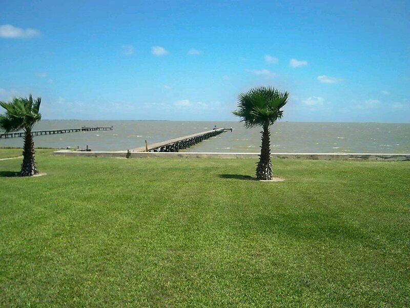
Carancahua Bay is a northern extension of Matagorda Bay located in Jackson and Matagorda counties in Texas, United States. It is oriented from the southeast to the northwest but meanders as it reaches the north to the confluence with Carancahua Creek. Generally slender, it is only about 1 mile in width north of its circular mouth.The bay serves as a nursery for shrimp and as an ecosystem for diverse species of birds and fish. Shrimp farms have been established inland to circumvent restrictions on the bay. The area close to shore is prone to flooding, and can sometimes accumulate large populations of mosquitos. As a consequence, no major settlements have been founded on the bay. However, the small communities of Port Alto and Carancahua have been established on the western and eastern shores, respectively.
Download Download See more
Wikipedia https://en.wikipedia.org/wiki/Carancahua_Bay
Address United States
Coordinates 28°40'34.307" N -96°23'57.192" E