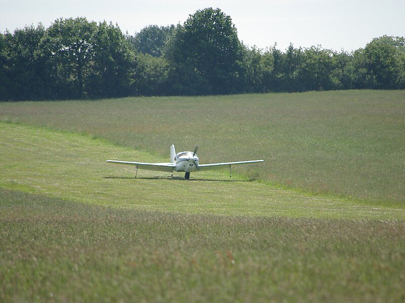
Coal Aston Airfield, also known as Apperknowle Airstrip, is a general aviation airfield located in the village Apperknowle, Derbyshire, 5.8 mi south of Sheffield.
The unlicensed airfield is just south of a ridge of high ground to the north-east of Dronfield, close to the villages of Summerley, Apperknowle and Coal Aston. There has been a Coal Aston airfield since the World War I, though not here; RAF Coal Aston was on what is now the Jordanthorpe estate in south-east Sheffield, 1.7 miles to the north-west. By the late 1920s this had become a civil field which promised, until World War II, to become Sheffield's airport.
The airfield is operated from an on-site farmhouse and prior permission is required for landing.
Wikipedia https://en.wikipedia.org/wiki/Coal_Aston_Airfield
Address S18 4, United Kingdom
Coordinates 53°18'16.594" N -1°25'44.003" E