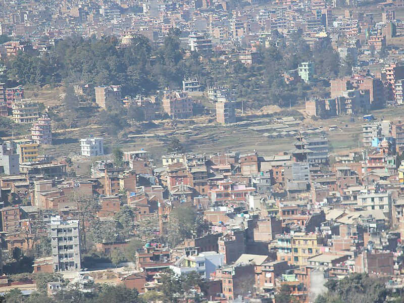
Dhulikhel is a municipality in Kavrepalanchok District of Nepal. Two major highway B.P. Highway and Arniko Highway passes through Dhulikhel. Araniko Highway connects Kathmandu, Nepal's capital city with Tibet's border town of Kodari. Dhulikhel is located at the Eastern rim of Kathmandu Valley, south of the Himalayas at 1550m above sea level and is situated 30 km southeast of Kathmandu and 74 km southwest of Kodari. The Majority of people in Dhulikhel are Newars, and Brahmin, Chhettri, Tamang and Dalit are also living in outer area of the town. Drinking water in Dhulikhel is some of the best water in Nepal. It was made with the help of the German NGO German Technical Cooperation.
Download Download See moreWikipedia https://en.wikipedia.org/wiki/Dhulikhel
Coordinates 27°37'8.115" N 85°33'10.501" E