Dyssebroen is a pedestrian and cycle bridge located in the area known as Freetown Christiania in Copenhagen, Denmark. It connests the Christianshavn Side main portion of the community to its more 'rural' Amager Side backdrop across Stadsgraven, the former moat of the Christianshavn Rampart which formed part of the Bastioned Fortification Ring which used to guard the city.
Download Download See more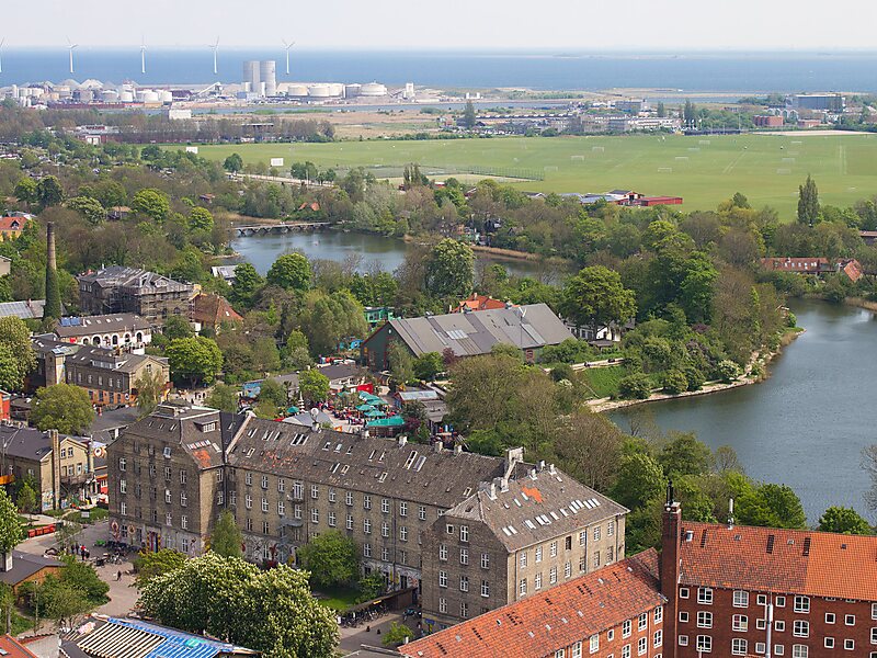
Wikipedia https://en.wikipedia.org/wiki/Dyssebroen
Coordinates 55°40'24.164" N 12°36'23.841" E
