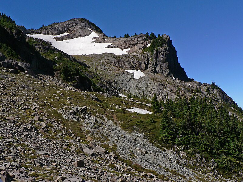
Fay Peak is a double-summit mountain located in Mount Rainier National Park, in Pierce County of Washington state. It is part of the Cascade Range, and lies seven miles northwest of the summit of Mount Rainier. The 6,492-foot elevation summit of Fay Peak lies a quarter-mile west of the highest point, East Fay Peak, 6,520+ ft. Echo Rock is its nearest higher neighbor, 2.7 mi to the southeast. Precipitation runoff from Fay Peak is drained by Cataract Creek on the east side of the mountain, and the west side drains into Mowich Lake and Mowich River.
Download Download See moreWikipedia https://en.wikipedia.org/wiki/Fay_Peak
Address 98321, United States
Coordinates 46°55'55.713" N -121°50'54.687" E