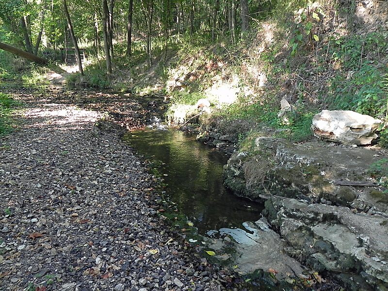
Forest 44 Conservation Area consists of 998 acres in western St. Louis County, Missouri. It is located near the town of Valley Park, Missouri and is bordered to the north by Interstate 44. It is part of the Henry Shaw Ozark Corridor.
Forest 44 was once part of a cattle ranch that covered 10,000 acres. The land was purchased in 1990 by the Missouri Department of Conservation from the heirs of the Reinken Estates. An additional 40 acres were acquired by partial donation and is known as the Dorothy E. Aselman Memorial Addition.
Forest 44 has a 0.4 miles paved disabled-accessible trail, a 2.2 miles hiking only trail, and 11.8 miles of multi-use trails open to hiking and horseback riding.
Wikipedia https://en.wikipedia.org/wiki/Forest_44_Conservation_Area
Official Website http://mdc4.mdc.mo.gov/applications/moatlas/AreaSummaryPage.aspx?txtAreaID=9023
Coordinates 38°31'17.562" N -90°31'54.978" E