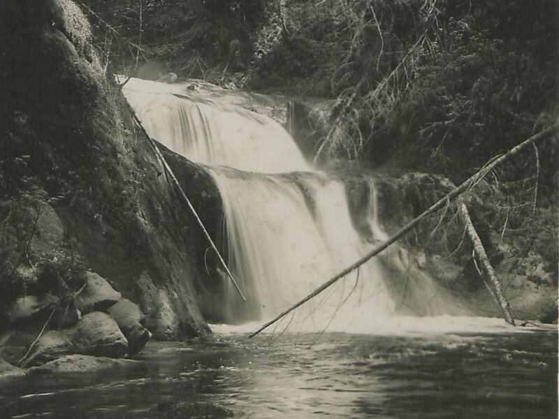
Kanaka Creek Regional Park is a regional park of the Greater Vancouver Regional District, located in the city of Maple Ridge, British Columbia, flanking both sides of Kanaka Creek from its confluence with the Fraser River just east of Haney and extending approximately 11 km up the creek to just south of the community of Webster's Corners.
The 400 ha. park has three main areas. The Riverfront area adjacent to the Fraser and BC Hwy 7 has picnic tables and a boat-launch, suitable for launching canoes and kayaks for navigating the slow-moving waters of Kanaka Creek up as far as the 240th Street bridge. The Riverfront Trail winds along this stretch of the creek and has a number of three-story wooden viewing towers.

Official Website http://www.metrovancouver.org/services/parks/parks-greenways-reserves/kanaka-creek-regional-park
Coordinates 49°12'40.549" N -122°30'33.576" E