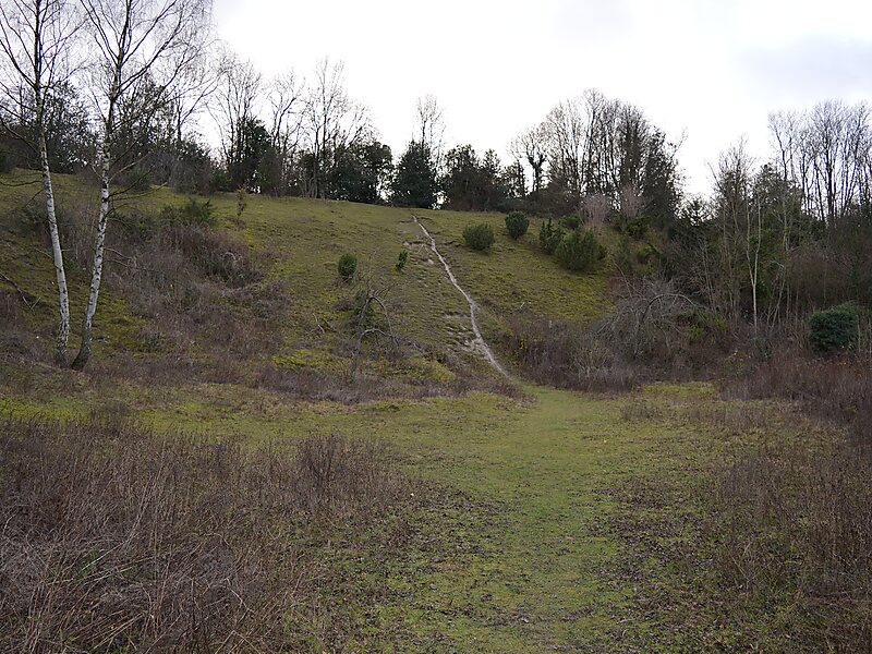
Roughdown Common is a 3.6-hectare biological Site of Special Scientific Interest in Hemel Hempstead in Hertfordshire. The planning authority is Dacorum Borough Council. The site is Common land, and it is owned by the Box Moor Trust having been officially brought by the trust in April 1886 from the Dean and Chapter of St Paul's. It is part of the Chilterns Area of Outstanding Natural Beauty. The Common is a steeply sloping chalk hill in south Hemel Hempstead.
Download Download See moreWikipedia https://en.wikipedia.org/wiki/Roughdown_Common
Coordinates 51°44'23.055" N -0°29'7.462" E