Luzon Overpass
Circumferential Road 5, informally known as the C-5 Road, is a network of roads and bridges that all together form the fifth beltway of… Read more…


Add Luzon Overpass to Your Trip
Create a detailed travel itinerary with smart routing, time estimates, and everything you need for a perfect trip.


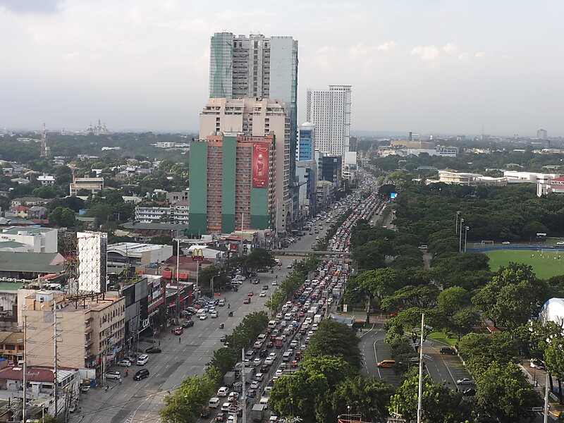
Circumferential Road 5, informally known as the C-5 Road, is a network of roads and bridges that all together form the fifth beltway of Metro Manila in the Philippines. Spanning some 32.5 kilometers, it connects the cities of Las Piñas, Makati, Parañaque, Pasay, Pasig, Quezon City, Taguig, and Valenzuela.
It runs parallel to the four other beltways around Metro Manila, and is also known for being the second most important transportation corridor after Circumferential Road 4.The route is not yet complete to date, because of certain controversies regarding right of way, but portions of the route are already open for public use. On July 23, 2019, the two segments of the route has been connected together with the completion of the C-5 Southlink Expressway, through a 2.2-kilometer flyover over the Skyway and the SLEX in 2019.
Source: Wikipedia
More Information and Contact
Add Luzon Overpass to Your Trip
Create a detailed travel itinerary with smart routing, time estimates, and everything you need for a perfect trip.