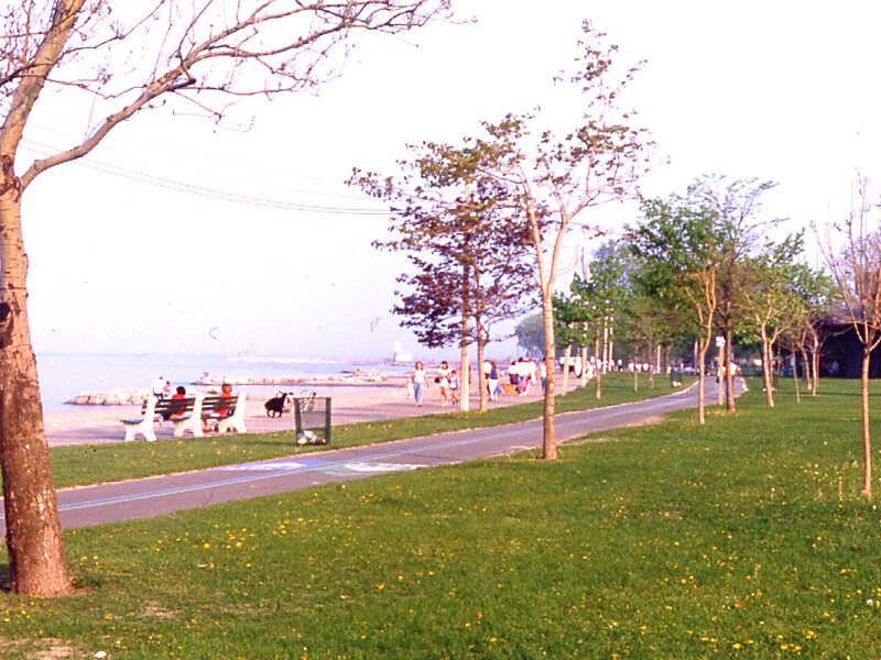
The Martin Goodman Trail is a 56 km multi-use path along the waterfront in Toronto, Ontario, Canada. It traverses the entire lake shore from one end of the city to the other, from Humber Bay Arch Bridge in the west to the Rouge River in the east. The Martin Goodman Trail is part of the 730 km Waterfront Trail around Lake Ontario.
Download Download See moreWikipedia https://en.wikipedia.org/wiki/Martin_Goodman_Trail
Official Website http://www.waterfrontoronto.ca/explore_projects2/the_wider_waterfront/martin_goodman_trail
Address 348 Cherry St, M5A3L2, Canada
Coordinates 43°38'51.466" N -79°21'15.88" E