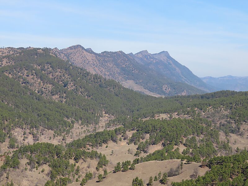
Mt. Zinghmuh is a prominent mountain that ranges from Chunchung village in Hakha Township and Ramthlo village to Falam Township . The highest peak of the range located directly above Ramthlo village in Falam Township is recorded as 8414 feet above sea level making it the third highest peak in Chin State, Myanmar after Mt.Khonumthung also known as Nat Ma Taung or Mt. Victoria and Mt.Kennedy.
Download Download See moreWikipedia https://en.wikipedia.org/wiki/Zinghmuh
Address Myanmar (Burma)
Coordinates 22°47'18.824" N 93°33'0.104" E