
Mt. Akita-Komagatake
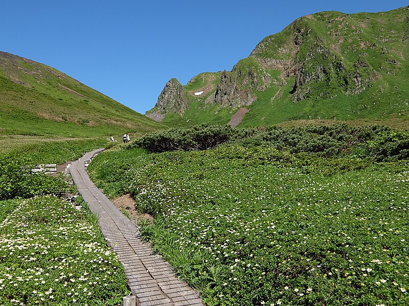
Akita-Komagatake is an active stratovolcano located 10 km east of Tazawa Lake, near the border between Akita and Iwate prefectures on… Read more…
volcano

掬茶

Batholith

Koda6029

Koda6029

Yama0904

Koda6029

Koda6029

Riverside Hotel

Mt. Akita-Komagatake
2h

Corner Café
45 min
Riverside Hotel
Mt. Akita-Komagatake – Add to Your Trip
Create a detailed travel itinerary with smart routing, time estimates, and everything you need for a perfect trip.


3M+ downloads · 4.6 stars · 15 years of trip planning


Akita-Komagatake is an active stratovolcano located 10 km east of Tazawa Lake, near the border between Akita and Iwate prefectures on Honshu Island. The volcano last erupted from 18 September 1970 to 25 January 1971. It is the highest mountain in Akita Prefecture and the second highest in Towada-Hachimantai National Park.
Source: Wikipedia
More Information and Contact
Address Japan
Coordinates 39°45'11.036" N, 140°47'44.453" E
Riverside Hotel
Mt. Akita-Komagatake
2h
Corner Café
45 min
Riverside Hotel
Mt. Akita-Komagatake – Add to Your Trip
Create a detailed travel itinerary with smart routing, time estimates, and everything you need for a perfect trip.
3M+ downloads · 4.6 stars · 15 years of trip planning