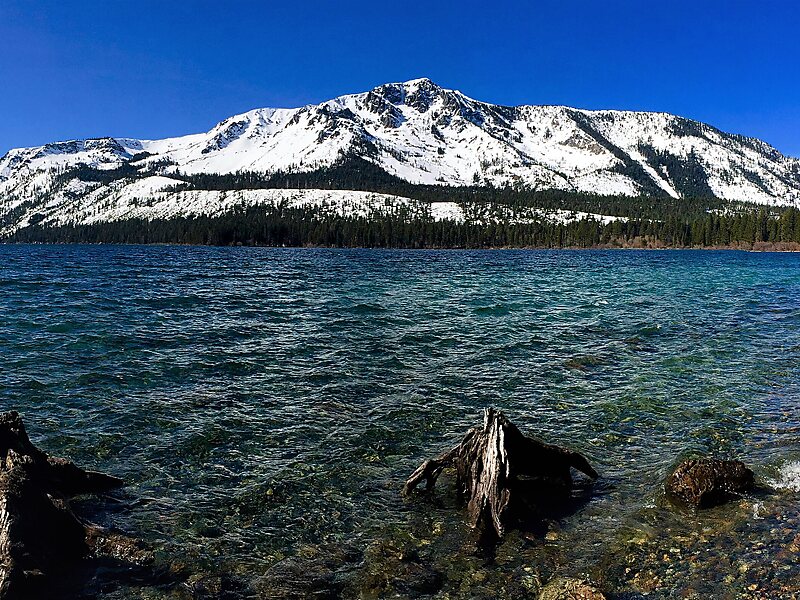
Mount Tallac is a mountain peak southwest of Lake Tahoe, in El Dorado County, California. The peak lies within the Desolation Wilderness in the Eldorado National Forest. It is quite visible from State Routes 89 and 28, and U.S. Route 50. A "cross of snow" is clearly visible on the mountain's face during the winter, spring, and early summer months.
The mountain is shown on maps of the Whitney Survey as Chrystal Peak. In 1877, the Wheeler Survey named the peak "Tallac", after the Washo word "daláʔak", meaning 'big mountain'.An estimated 10,000 climb the peak each year via routes approaching the summit from Desolation Wilderness to the west, Fallen Leaf Lake to the East, and access roads from the north. Wilderness permits are required to hike Mount Tallac. For day hikes, permits are free and self-issued at the trailhead. There is a quota for overnight hikes on Mount Tallac, but there is no quota for day hiking.
Wikipedia https://en.wikipedia.org/wiki/Mount_Tallac
Address 96150, United States
Coordinates 38°55'21.063" N -120°5'10.602" E
