Panguan Island is an island in the municipality of Sitangkai, Tawi-Tawi. With an area of 0.06 square kilometres. It is also known as Malamanok, coming from the Sama-Bajau dialect which means eat chicken as locals who travel to Sabah usually use this island as a stop-over to eat roasted chicken prior continuing their journey to Malaysia. It is the last island of the Sulu Archipelago nearest to the Philippine-Malaysian border.This island is 50 km or 31 miles away from Sabah state. Just like other Philippine border communities, the area lacks access to food, potable water and healthcare.
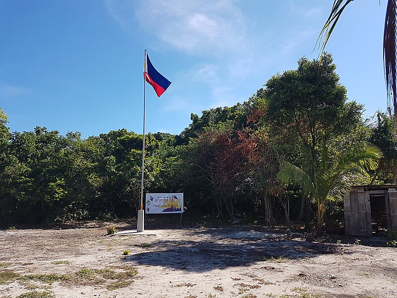
The island has a newly constructed military barrack, a flagpole, and a small community of Badjao.
Wikipedia https://en.wikipedia.org/wiki/Panguan_Island
Coordinates 4°42'36.481" N 119°1'52.824" E