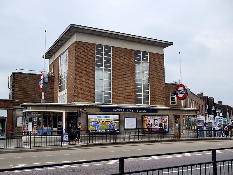
Rayners Lane is a suburban district in the London Borough of Harrow that forms the western part of Harrow. Located between Pinner and West Harrow, it takes its name from a road in the area, also called Rayners Lane which runs from Marsh Road in Pinner to Eastcote Lane in South Harrow.
Download Download See moreWikipedia https://en.wikipedia.org/wiki/Rayners_Lane
Address 301 Rayners Lane, Harrow HA5 5, United Kingdom
Coordinates 51°34'30.759" N -0°22'17.277" E