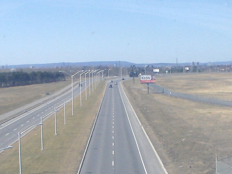
Riverside Drive is a major road in Ottawa, Ontario, Canada that follows along the eastern bank of the Rideau River. Its northern terminus is at the Transitway/Via Rail underpass just south of the Queensway, and the road proceeds south to Limebank Road where it continues as River Road until the city limits. North of the Queensway, Riverside continues as Vanier Parkway, which travels through Vanier until Beechwood Avenue.The road's name is linked to Vanier, Ontario, which was named for former Governor General of Canada Georges Vanier.
Most of the road is a four-lane divided principal arterial, with a speed limit of 60 km/h, although the general flow is faster in many sections.
Address Ottawa K1G, Canada
Coordinates 45°24'37.026" N -75°39'59.998" E