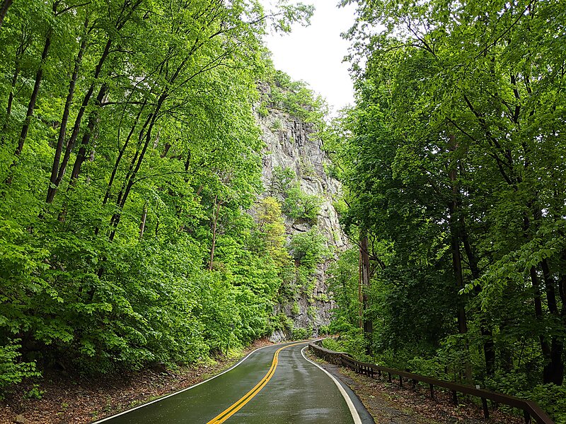
The Storm King Highway is a three-mile segment of New York State Route 218 between Lee Road in the Town of Highlands at the south end and the Cornwall-on-Hudson village line in Orange County, New York, in the United States. It was built in 1916 and added to the National Register of Historic Places in 1982 in recognition of its accomplishment in civil engineering.
It is so named because it winds around the steep slopes of Storm King Mountain near its north end of the Hudson Highlands on the west bank of the Hudson River. Here it reaches heights of up to 420 feet above the water, with panoramic views of the river and surrounding mountains such as Breakneck Ridge and Bull Hill.
Wikipedia https://en.wikipedia.org/wiki/Storm_King_Highway
Coordinates 41°26'16.045" N -73°59'48.925" E