



British Columbia Highway 93
Highway 93 is a north–south route through the southeastern part of British Columbia, in the Regional District of East Kootenay and takes… Leer más…
Entradas


British Columbia Highway 93 – Añadir a tu viaje
Crea un itinerario de viaje detallado con rutas inteligentes, estimaciones de tiempo y todo lo que necesitas para un viaje perfecto.




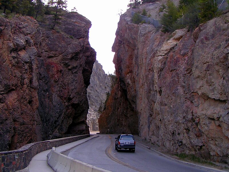
Highway 93 is a north–south route through the southeastern part of British Columbia, in the Regional District of East Kootenay and takes its number from U.S. Highway 93 that it connects with at the Canada–United States border. It follows the Crowsnest Highway and Highway 95 through Radium Hot Springs and to where it crosses the Continental Divide into Alberta at Vermilion Pass, where it continues as Alberta Highway 93. The section between the Canada-U.S. border and the Crowsnest Highway is known as the Elko–Roosville Highway, the section between the Crowsnest Highway and Radium Hot Springs is known as the Kootenay–Columbia Highway, while the section east of Radium Hot Springs is known as the Banff–Windermere Parkway.
Source: Wikipedia
Más información y contacto
British Columbia Highway 93 – Añadir a tu viaje
Crea un itinerario de viaje detallado con rutas inteligentes, estimaciones de tiempo y todo lo que necesitas para un viaje perfecto.

