
Lyttelton Harbour/Whakaraupō
Lyttelton Harbour / Whakaraupō is a major inlet on the northwest side of Banks Peninsula, on the coast of Canterbury, New Zealand; the… Leer más…


Lyttelton Harbour/Whakaraupō – Añadir a tu viaje
Crea un itinerario de viaje detallado con rutas inteligentes, estimaciones de tiempo y todo lo que necesitas para un viaje perfecto.




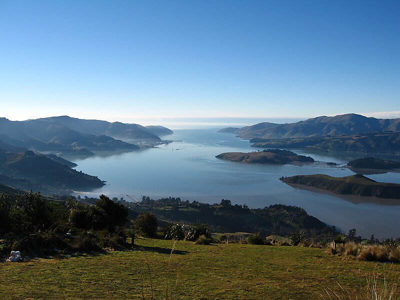
Lyttelton Harbour / Whakaraupō is a major inlet on the northwest side of Banks Peninsula, on the coast of Canterbury, New Zealand; the other major inlet is Akaroa Harbour, which enters from the southern side of the peninsula. Whakaraupō enters from the northern coast of the peninsula, heading in a predominantly westerly direction for approximately 15 km from its mouth to the aptly-named Head of the Bay near Teddington. The harbour sits in an eroded caldera of the ancient Banks Peninsula Volcano, the steep sides of which form the Port Hills on its northern shore.The harbour's main population centre is Lyttelton, which serves the main port to the nearby city of Christchurch, linked with Christchurch by the single-track Lyttelton rail tunnel, a two lane road tunnel and…
Source: Wikipedia
Más información y contacto
Lyttelton Harbour/Whakaraupō – Añadir a tu viaje
Crea un itinerario de viaje detallado con rutas inteligentes, estimaciones de tiempo y todo lo que necesitas para un viaje perfecto.
