
Hoher Mechtin
At a height of 142 m above sea level the Hoher Mechtin is the highest elevation in the Wendland in the district of Lüchow-Dannenberg in… Leer más…


Hoher Mechtin – Añadir a tu viaje
Crea un itinerario de viaje detallado con rutas inteligentes, estimaciones de tiempo y todo lo que necesitas para un viaje perfecto.




At a height of 142 m above sea level the Hoher Mechtin is the highest elevation in the Wendland in the district of Lüchow-Dannenberg in northern Germany, and is at the same time a significant high point on the entire North German Plain. It lies roughly at the centre point of the Drawehn ridge, which is also described as the East Hanoverian gravel or end moraine.. The area is part of the Ostheide division of the Lüneburg Heath.
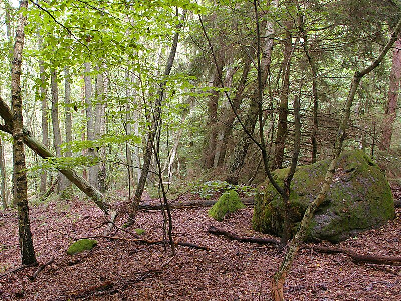
Debris consisting of sand, loam, gravel, stones and glacial erratics several metres across was transported southwards by the glacier flowing from Scandinavia in a series of advances in the Saale glaciation, leaving the Drawehn behind as an end moraine after it melted. Today the area is predominantly covered in pine forest, but mixed deciduous forest comprising oak, birch, beech and other trees dominates the scene in a few places, especially on the high spots and slopes.
Source: Wikipedia
Más información y contacto
Hoher Mechtin – Añadir a tu viaje
Crea un itinerario de viaje detallado con rutas inteligentes, estimaciones de tiempo y todo lo que necesitas para un viaje perfecto.