



Devil's Bridge
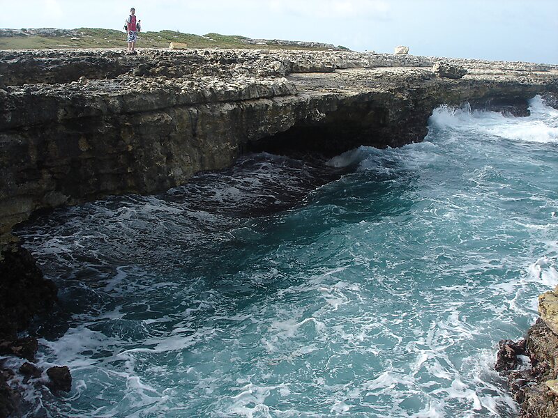
Devil's Bridge is a natural rock arch in eastern Antigua. It is located on the Atlantic coast at 17°6′1.7″N 61°40′42.2″W, near Indian Town… Leer más…
Devil's Bridge – ¿Estás planeando un viaje?
Crea tu itinerario día a día en la app de Tripomatic.


Devil's Bridge is a natural rock arch in eastern Antigua. It is located on the Atlantic coast at 17°6′1.7″N 61°40′42.2″W, near Indian Town Point to the east of Willikies. The area around the arch features several natural blowholes which shoot up water and spray powered by waves from the Atlantic Ocean. This particular location is exposed to waves that are pushed by the Trade Winds with no land between here and Europe. Nearby popular local swimming spots such as Long Cove are sheltered by an offshore reef acts as a natural breakwater.
In 2008 it was declared National Park.
Source: Wikipedia
Más información y contacto


Devil's Bridge – Añadir a tu viaje
Crea un itinerario de viaje detallado con rutas inteligentes, estimaciones de tiempo y todo lo que necesitas para un viaje perfecto.

